The City completed a detailed design in fall 2020. The detailed design involves placing riprap, and stabilizing the riverbank with a shear key at several locations. The design also includes relocating a section of Wellington Crescent away from the river, between Doncaster Street and Grenfell Boulevard, together with construction of a new 3.5 meters wide asphalt pathway running along the roadway.
Detailed Design - October 2020

Cross Section - October 2020
The design was updated to address concerns and feedback from residents. The City will add traffic calming measures to Wellington Crescent in the project area. Traffic calming measures include speed tables on Wellington Crescent and raised intersections at Girton Boulevard and Doncaster Street. These measures will help address traffic issues in the project area raised by residents.
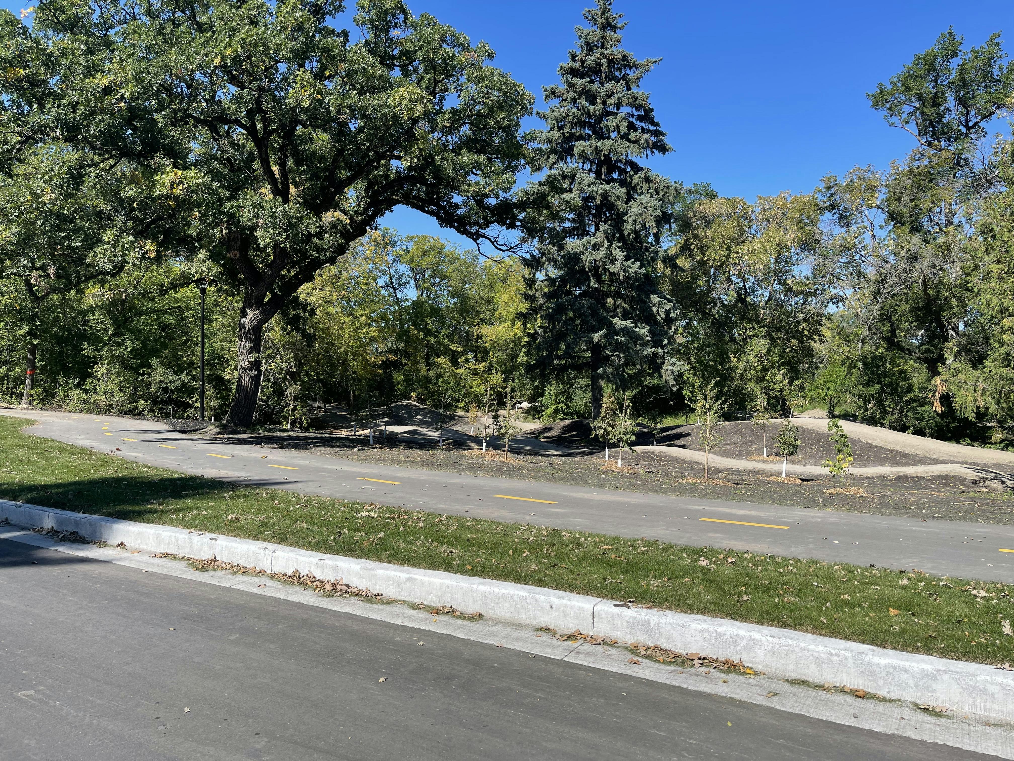
A new three-way stop at the east entrance to Assiniboine Park will increase safety and visibility of path users entering or leaving the park. The walk bike path will be widened in the project area from 2.5 meters to 3.5 meters and include new seating nodes to enhance the path user's experience. The detailed design also includes a river access point so users can enjoy the Assiniboine River, as well as wilderness trails running through the riverbank’s forest.
For more information resident’s feedback on and how it was considered, please see the Public Engagement Summary Report. For more information on the previous design phase, please see below.
Functional Design and Options Assessment
The City completed a Functional Design and Options Assessment phase in winter 2018/19, which looked at several different overall strategies to improve riverbank stability and protect the streets, pathways, lighting and underground utilities from the impacts of ongoing erosion and riverbank movement. Strategy 2 was selected as the recommended design and presented to adjacent property owners and stakeholders in spring 2019.
Strategies
 The project team considered a number of factors when recommending Strategy 2, including those shown in the figure below. Factors in yellow are most desirable.
Strategy Evaluation

The project scope was expanded to include the development and evaluation of an additional concept that would involve closing parts of Wellington Crescent to vehicles in the study area (generally between Doncaster Street and Assiniboine Park). Closing parts of Wellington Crescent to vehicles was raised at the stakeholder meeting as a possible solution warranting further investigation and discussed at the adjacent property owner meeting in spring 2019. A partial closure may eliminate the need to relocate significant sections of Wellington Crescent, reduce riverbank stabilization costs, reduce traffic volumes and noise along the route, reduce tree removal, and provide enhanced cycling and pedestrian opportunities along the riverbank.
To better understand the impacts of a partial closure, the City conducted a traffic study and developed five conceptual designs to evaluate the feasibility of closing parts of Wellington Crescent to vehicles. The study used data collected on-site and through previous traffic counts to provide an understanding of the existing conditions and traffic forecasts to 2029.
Some of the ideas that were considered included closing specific segments of Wellington Crescent, or converting segments of the street to a one-way street or lane. The study also considered other factors including, but not limited to, impacts to current and future road users, impacts to visitors of Assiniboine Park and the Rady Jewish Community Campus, impacts to traffic flow on other regional and local streets, access to properties, and access for emergency vehicles.
Some of the drawbacks identified in the traffic study included:
- Existing at-risk infrastructure including outfalls, roadway segments, pathways, and surface drain pipes would still require riverbank protection in every closure scenario.
- There would be unacceptable traffic volumes along Doncaster Street in all closure scenarios, exceeding the recommended range for this type of roadway.
- The Rady JCC generates unique traffic from drop-offs, pick-ups, and a signalized pedestrian crosswalk that further complicates traffic flow along Doncaster Street.
- There would be unacceptable traffic volumes along Chataway Boulevard in some closure scenarios, exceeding the recommended range for this type of roadway.
- The intersection of Chataway Boulevard, Nanton Boulevard, and Tuxedo Avenue is not geometrically suited to accommodate the projected increase in traffic.
For more information on the traffic study, please see the June 1, 2020 presentation.
The City also explored constructing a retaining wall to eliminate the need to relocate significant sections of Wellington Crescent. However, the retaining wall would exceed the approved project budget and cause major disruptions to the riverbank including removal of all trees along the riverbank in that section.
Preliminary Design
Due to the concerns identified during the functional design and options assessment phase, the City did not pursue a partial closure to Wellington Crescent or a retaining wall during the preliminary design phase. The design was updated based on feedback from the spring 2019 meetings, including shifting the relocated section of Wellington Crescent closer to the river to increase separation between the road and adjacent residences. Public engagement on the updated design occurred in summer 2020. For more information on the public engagement opportunities and a summary of residents’ feedback, please see the Public Engagement Summary Report.